| Maps of Zamboanga City and Vicinity | ||||
|
Downtown Zamboanga
|
1944 Map of Downtown Zamboanga and Beaches
|
Satellite Map - Zamboanga
|
Fort Pilar Garrison
|
|
|
Manila 1851 (851K) Diccionario Geografico- Estadistico- Historico De Las Islas Filipinas, Madrid 1851.
|
The Spanish-American War of 1898 - capture of The Philippines.
|
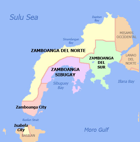
Zamboanga Peninsula Map (New! )
|
1944/10/24 bw map Battle of Philippine Sea sketch
|
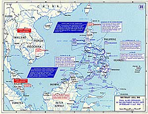
Allied Liberation of Southern Philippines, 1945
|
|
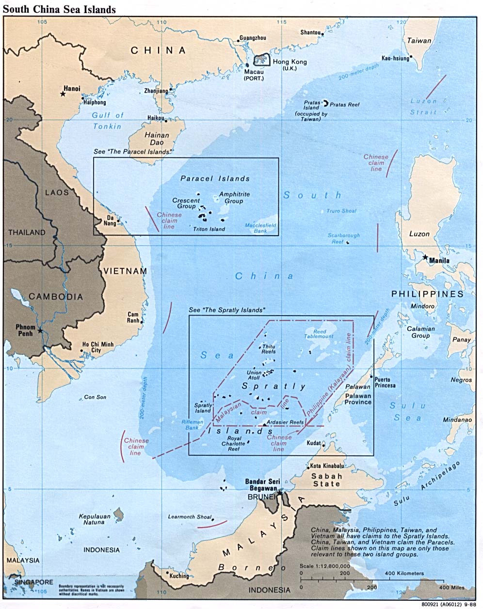
Spratly Islands
|
Fort Pilar plan in 1719
|
 The Philippines |
Zamboanga plan in 1700s
|
|
|
Zamboanga City DENR land cover map
|
Zamboanga City & downtown
|
Zamboanga City and area
|
||


