
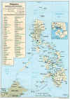
Maps of Zamboanga City and Vicinity
|
Downtown Zamboanga |
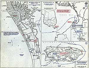
1944 Map of Downtown Zamboanga and Beaches |
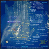
Satellite Map - Zamboanga |
Fort Pilar Garrison |
|
|
|
( Click for bigger photo ) |
|||||
|
Manila 1851 (851K) Diccionario Geografico- Estadistico- Historico De Las Islas Filipinas, Madrid 1851. |
The Spanish-American War of 1898 - capture of The Philippines. |
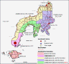
Zamboanga Peninsula Map (New! ) |
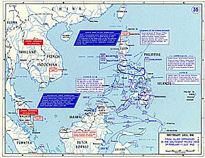
1944/10/24 bw map Battle of Philippine Sea sketch |
|
|
|
Spratly Islands |
Fort Pilar plan in 1719 |
 The Philippines |
Zamboanga plan in 1700s |
|
|
|
Zamboanga City & downtown |
|||||
1944 Map of Zamboanga's Downtown Beaches
More satellite photos of Zamboanga City
![]()
Copyright ©1997-2006 Zamboanga.com®. All Rights Reserved.
Home | Z-Mail Box | Z-Community | Z-World | Z-Guest | Z-Search4U | Barangay Home Page


